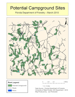
This lab was pretty easy. I am becoming much more comfortable using ArcMap
1. Which tool did you use? I used the intersect tool. It gave me the same results.
2. Which tool did you use here? I used the erase tool to take away the park areas from layers I unioned.
3. How many features are in this layer? I got 79 features. The largest was 7765053.672 square meters and the smallest was 748.346256 square meters.

