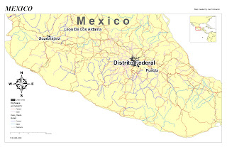
Map #2 - includes roads, railways, state/federal highways, rivers/streams, and population of 1000000+ urban center. I did have an issue with the scale of my layout. I couldn't get the 1:5,000,000 to display correctly. Not sure if I changed something within ArcMap to cause it.
Joe Perkowski


